To create a map of air quality across a town or city you used to have spend significant resources setting up and maintaining a sparse air quality monitoring network and then apply uncertain models which rely on emissions data you don’t usually have. But gone are the days where air quality instruments were prohibitively expensive so why model when you can measure directly?
The Air Quality Collecvier is excited to introduce AirGrid. A service that leverages on the relative low cost of new air quality instrumentation to map airborne particulate matter across towns and cities.
Over 10 years during our time at NIWA, we have been at the cutting edge of research into the potential of low-cost sensors to deliver detailed maps of air quality, revealing large variations in risk and often identifying previously unknown hot-spots.

How does AirGrid work?
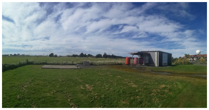
We allocate reliable low-cost sensors to optimised monitoring locations based on study objectives and minimizing bias. We can train most people to do the installations, usually on street furniture, or we can do it for you. We monitor the monitors, and then interpolate the data converting it into revealing maps. We typically recommend monitoring for 3 months in order to generate a reliable map, although longer and shorter deployments may be suitable for different objectives or atypical environments.
What does an AirGrid map give, that other methods do not?
A lot!
-
Evaluation of the representativeness of regulatory monitoring stations
-
Assessment of the suitability of potential future monitoring sites
-
Identification and quantification (size, severity, frequency) of “hot-spots”, including ones never previously suspected
-
Insight into movement of pollutants within an airshed – who are the polluters and the polluted?
-
An engagement tool for public communication and debate
-
A sound basis for more accurate health risk assessment
What sensors do we use and what do they measure?
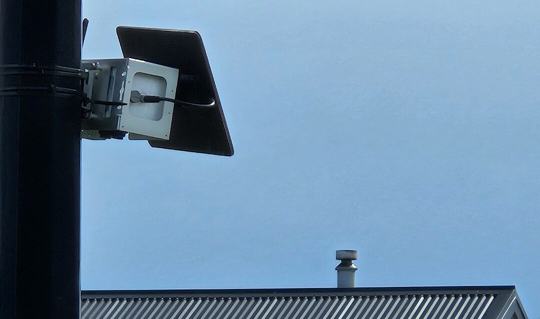
After cutting our teeth with the ODIN (designed by Air Quality Collective scientist Gustavo Olivares) for many years, at present we use the Clarity Node-S (www.clarity.io) which measures particulate matter (PM1, PM2.5 and PM10), plus temperature and humidity. We are regularly reviewing new sensors coming onto the market and always looking for the next big development.
Who has used AirGrid and where?
Our standard AirGrid package has been designed with the monitoring of airsheds impacted by biomass smoke from home heating in mind. Some example locations where this method was developed include:
-
Invercargill and Gore (for Environment Southland)
-
Alexandra and Milton (for Otago Regional Council)
-
Rotorua (for Bay of Plenty Regional Council)
“DustGrid” was a specially adapted version we developed to monitor airborne dust in the wake of Cyclone Gabrielle for Hawkes Bay Regional Council.
Got any questions? Email us at info@theairqualitycolelctive.org
Find out more
https://www.rnz.co.nz/news/national/500549/we-are-polluting-our-neighbours-some-invercargill-and-alexandra-homes-have-3-times-pollution-as-others https://www.es.govt.nz/about-us/news?item=id:2ntmos9jn1cxbytcspia
Extensive independent evaluation of the Clarity Node-S:
https://www.aqmd.gov/aq-spec/product/clarity-node